Nowadays, the Global Positioning System (GPS) has become part and parcel of Life. Mobile Phone, Internet and Satellite connectivity made the wandering too easy. This is among the most frequent uses of maps in our life. But here we are going to understand how are maps useful to us in multiple ways.
Maps play a crucial role in our lives by providing valuable information about geographical locations, routes, and landmarks. They allow us to navigate unfamiliar territories, plan efficient travel routes, and explore new places. In addition to aiding navigation, maps are used in various industries such as urban planning, disaster management, and environmental studies. Whether it’s finding the shortest route to a destination or analysing geographic data, maps serve as indispensable tools for understanding and interacting with our world.
What is Map
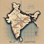
A Map is a visual representation of a Geographical Area. It includes roads, Buildings, Forest, Rivers, Boundaries etc. In other words Map is a Instrument which virtually depicts the real world.
Hitherto, the maps represent the two dimensional Image of the three dimensional world but with the help of Virtual Reality (VR) and Information and Communication Technology (ICT) we can visualize these maps also in three dimensional views.
Types of Maps
Maps come in various types, each serving different purposes. Some common types include:-
1) topographic maps, which show the physical features of an area
2) political maps, which display boundaries and territories
3) thematic maps, which focus on specific themes like population density or climate
4) navigation maps, which help in finding directions.
There can be multiple types of maps like Satellite map, Cadastral Maps etc. These different types of maps cater to the diverse needs of industries and individuals, enabling us to better understand and navigate our world.
Read About Impact of Globalization on Indian Economy
History of Maps
The first map was made up of clay, also known as table map. Babylonians (circa 2300 BCE) first developed the art of making maps which depicted the physical topography of a small area as compared to present maps.
Anaximander (6th century BCE), the first one who is credited for creation of the first map of the world. But the map was created on the basis of the knowledge of that time. So, this map is not a replica of the present day world map because the ancient world believed in different pictures of the world.
Claudius Ptolemy (2nd century CE): A Greek-Roman geographer who wrote the book ‘Geographia’, a work that outlined map-making technique and also provided coordinates for places in the known world. This was a crucial development in the map making technology of the world.
At present the world is divided on the Latitudes and longitudes, with the help of which each point on the earth has coordinates.
How are Maps Useful to us
Here we are going to discuss 7 important ways “How are maps useful to us”.
Education
Maps are an important part of the school curriculum especially in Geography but in other subjects like history, polity, environment etc, also use maps for better understanding.
If we look at maps with the perspective of students then, maps provide visual information, which enhance the memorizing power of students. Maps make learning much easier, wherever maps can be involved in learning we should use it.
Travel and Tourism
This is a part of human life where an individual either wants leisure or wants to explore the world. When we talk about exploration then Maps became an important instrument for the project.
For example if we want to explore Kanha National Park, then we have to find out the best suitable route to Kanha and if we want to stay there then we need information and routes to Resorts. These demands were fulfilled by the Maps.
Scientific Research
Maps are not limited to earth only, we can prepare the maps for outer space too. To locate a particular star or a particular galaxy.
If we have to locate the best place for solar energy so we can use a map, in the same way we can locate the best place for hydroelectric power plants on rivers, thermal power plants and connectivity.
Maps are essential for scientific discoveries because maps help in cost cutting of projects and make the project economical and also increase the efficiency of the scientific discovery.
Resource Management
If we talk about India, then it is a natural resource rich country. Maps help us to locate the resources, also help us to locate industries at the right place. We not only locate the resources on land but at the sea also. Maps also help us to select appropriate technology for excretion of the resources.
The utility of maps also in management of human resources. The physical capability of a person also depends on the geography and food patterns of the area. So, with the help of maps we can also select human resources.
Military Strategy
The wars are not played on a playground, and many times the war field is unknown to the soldiers. So a map becomes an important tool in the battlefield.
Maps help to design the strategy, like where to be on aggressive or to be on defensive mood, which point is essential for the victory etc. Maps ease the planning and enhance the efficiency of the forces.
Data Visualization
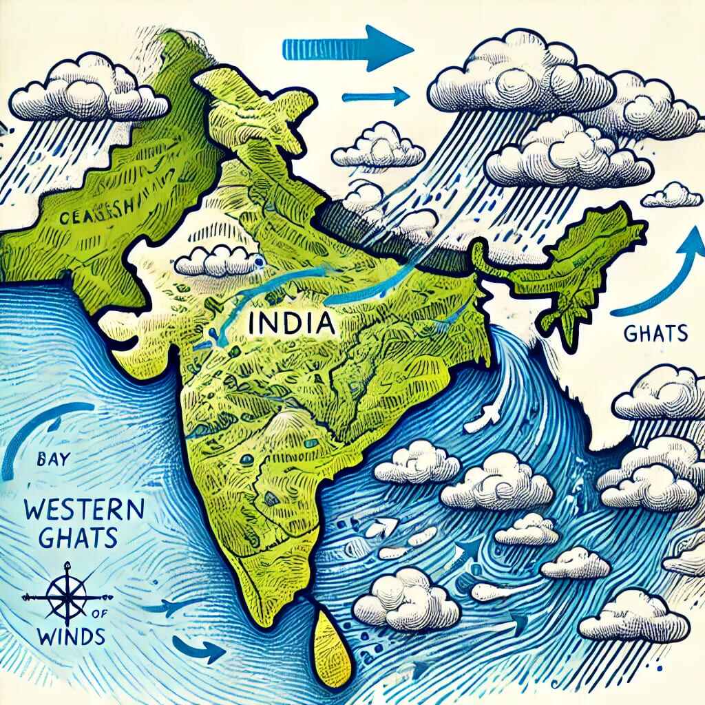
Seismic activities are quite common in Himalayan region. We know that a particular area is prone to earthquakes because of Data visualization. Such natural disasters and even manmade disasters can be predicted through data analysis and visualization.
With the help of maps we can visualize weather conditions like Monsoon, Frost, Pest attack on crops and we can apply appropriate measures to get rid of these severe conditions.
Historical Insight
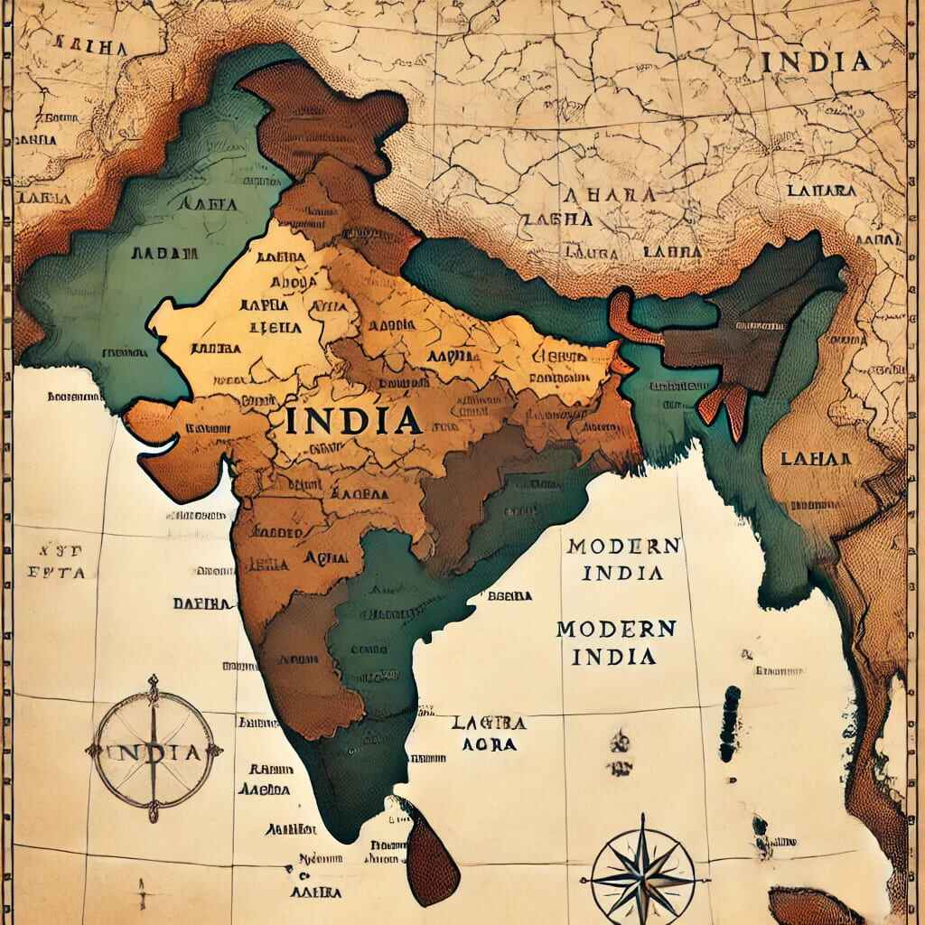
Maps are very useful to attain historical knowledge. For example let us talk about the Mughal Empire. With the help of a map we can show how much area is covered under the Mughal empire and we can also show the developments under a particular King.
In a map we can locate various historical sites from pre-historic period to modern period. It enhances the tourism sector of the country.
Maps can also give us knowledge about War prone areas. What were the reasons behind the war can be researched with the help of Maps.
Conclusion
Here we understand how are maps useful to us but maps have various complexities with them which need to be solved. These complexities are:-
- Each country has its own maps like on map Pakistan occupied Kashmir (POK) is part of India on Indian map and Pakistan claims POK on its maps. Same applies to the India-China border issue too.
- Readability of maps is not that easy. For that we should have the knowledge of Scale, Themes, Boundaries etc.
- Ancient maps are different from the Present map because of lack of knowledge. So, we are not able to find if the present knowledge is authentic or not.
- Sometimes we face issues with GPS too.
So, research is needed to solve these issues, so that maps become much more useful then the present.